
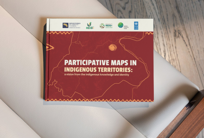
This article will explore the process of creating participatory maps in Costa Rica’s IT, developed within the framework of the REDD+ PBR Project and aligned with the TFAPs. The methodology used is described, which involved more than 150 indigenous people from 18 territories, focused on promoting consultation spaces respectful of their cosmovision. The methodological elaboration of these maps was carried out through collective sessions that applied participatory approaches. In them, community leaders and commissions identified milestones and significant elements of their territories, integrating local knowledge and community perspectives in the process. Learn about the process by reviewing this document.
Programa
Descriptores
Instituciones Participantes
Organismos Participantes